allinallspace.com
Category
Technology
AI, software, the future of work, tech policy, and the companies and ideas reshaping the world.
Is This the Big Short 2.0? What Happens to Global Markets If the AI Trade Unwinds
Michael Burry just bet against Nvidia, Caterpillar, and the entire semiconductor ETF. Is this the Big Short 2.0...
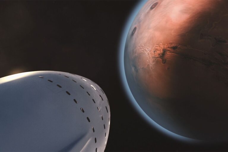
Elon Musk’s Mars Problem
Elon Musk put Mars on the map — and deserves credit for it. But a decade of missed...
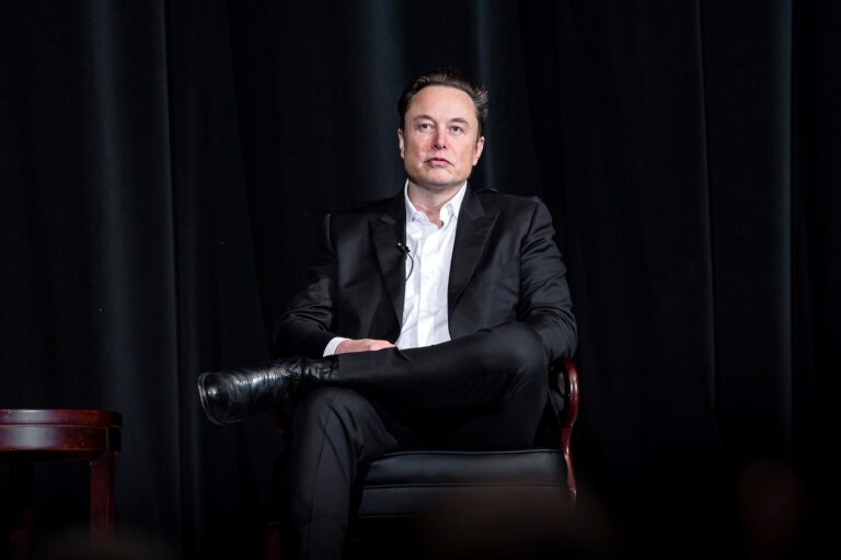
Why SpaceX Paid $60 Billion for a Coding App
SpaceX just paid $60 billion for a coding app. Here's why that number is less crazy than it...

Super Micro Computer (SMCI) Analysis: Cheap for a Reason — Or the Best Value in AI Infrastructure?
Super Micro Computer has lost nearly 70% from its $101 peak in March 2024. A $7 billion equity...
Why Microsoft Investors Should Ignore the Headline Numbers Once OpenAI Goes Public
Microsoft's 27% OpenAI stake is about to make its earnings harder to read. Here's why operating income and...
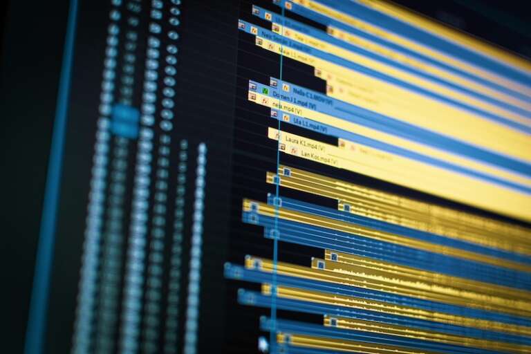
SaaSpocalypse Is Still a Big Threat
AI agents wiped nearly $2 trillion from software stocks in early 2026. Wall Street called it a correction....
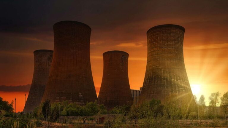
Small Modular Reactors: Is This the Next Big Thing — and Should You Invest?
SMRs are not a speculative idea anymore. They are an industry in early construction. The question for investors...

The Biggest Problem of Quantum Computing Companies: Nobody Is Making Money
The quantum computing industry is one of the most anticipated technological revolutions of our time. Governments are pouring...

The Browser War Is Back — And This Time, AI Is Fighting It
Chrome won the browser war so completely that the debate died. AI just reopened it — and this...
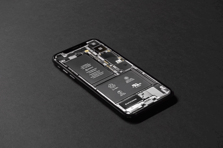
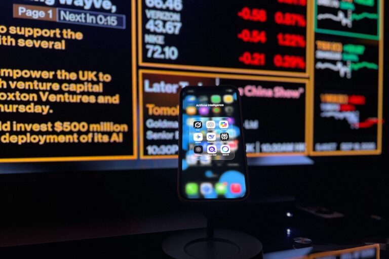
How to Make Your Smartphone Battery Last Longer
Batteries seem to run out faster than ever — despite bigger capacities. Here's what's actually draining your phone...

Biochar: What Is It and How Can It Change the World?
Biochar is a centuries-old material that scientists believe could be one of the most powerful tools we have...
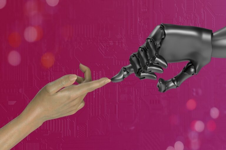
The Future of AI: How It Could Really Transform Our Personal Lives
AI is no longer a futuristic concept confined to sci-fi movies and tech labs. It’s already in our...